


ESPINOUSSE . LES RAGOTS O L S

RobinMicheline
User GUIDE
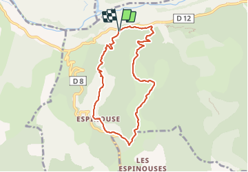

Length
8 km

Max alt
794 m

Uphill gradient
344 m
Km-Effort
12.6 km

Min alt
496 m

Downhill gradient
345 m
Boucle
Yes
Creation date :
2023-08-30 05:11:42.412
Updated on :
2023-08-30 13:04:51.248
2h12
Difficulty : Easy

FREE GPS app for hiking
 SityTrail
IGN / Geographical institutes
SityTrail Plus
The world is yours!
About
Trail Walking of 8 km to be discovered at Provence-Alpes-Côte d'Azur, Alpes-de-Haute-Provence, Le Chaffaut-Saint-Jurson. This trail is proposed by RobinMicheline.
Description
Bien indiqué. facile . agreable
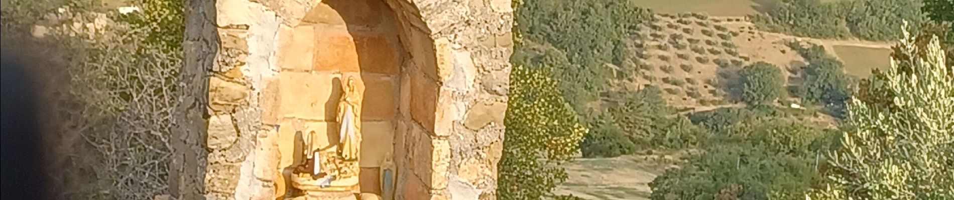
Photos


Positioning
Country:
France
Region :
Provence-Alpes-Côte d'Azur
Department/Province :
Alpes-de-Haute-Provence
Municipality :
Le Chaffaut-Saint-Jurson
Location:
Espinouse
Start:(Dec)
Start:(UTM)
267869 ; 4878967 (32T) N.
Comments